


Ahh... Jeju, part 2

Jeju-do1 is a volcanic island that came into existence when there was a massive underwater eruption, about 1 million years ago. The island is mostly made up of volcanic rock, thus very porous, and the soil doesn’t hold water very well. Because rice needs to grow submerged in a pool of water in paddies, rice was a very rare commodity in Jeju—something that had to be brought in from the mainland. People of Jeju thus had to develop and rely on different grains (barley, beans, buckwheat) and diet.

The island of Jeju is bigger than most people think. It’s actually one of the biggest islands in East Asia, meaning that if you don’t plan your stay well, you’ll end up spending most of the time there driving (which isn’t all that bad, btw), particularly because there is really no “expressway” in the whole island. With no traffic jams, it can take more than 2.5 hours from one end to the other.
As you can see, the island is in an elongated shape horizontally, shorter north and south, with 한라산 (Halla Mountain) at its center.

Some say that the whole island is an extension of Mt. Halla, with its 6,400 feet high peak (~1,950 meters) and the top that’s been blown off to form a crater (more on this later).
Perhaps some of you may recognize where the following two images come from. The only computer/video game I play is the Microsoft Flight Simulator, where you get to fly all sorts of different planes anywhere in the world and in any camera angle you want. The game is full of bugs and crashes often but when it works like it’s supposed to, it is a beautiful thing.

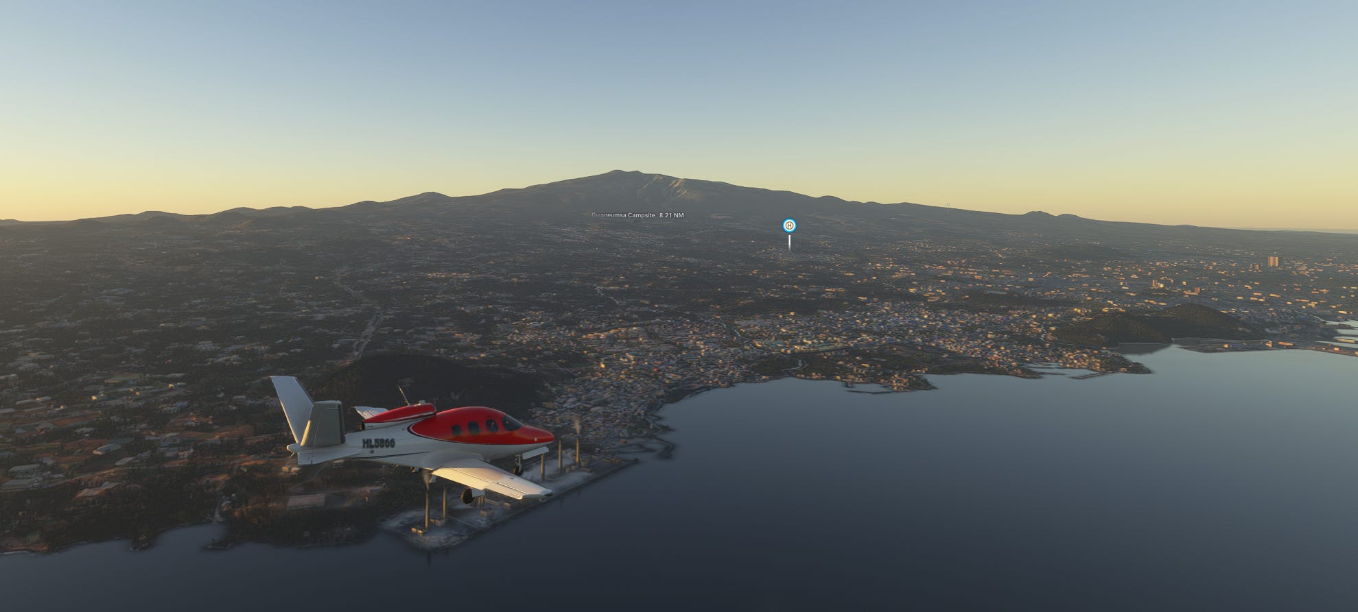
Here, I’m flying Vision Jet into Jejudo from its northeast side (due southeast from the pilot’s view) and you can actually see the whole island as a mountain. Where else can you get a view of the whole island unless you’re a real-life pilot?
Understandably, Jeju is mostly populated around the coastal area and very sparsely so in the mid mountain region where there’re a lot of farmlands.
The name Jeju is actually fairly new—only about 150 years or so. For about 2000 years, it was mostly called Tamra or Tamna (탐라, 탐나), and until the late 12th century, it was its own independent kingdom although the island country was always under the thumb of the Korean dynasties on the mainland.
Jeju has its own dialect that sounds foreign to the Korean mainlanders. It sounds like Korean, of course, but many of their expressions mean completely different things from what you would imagine them to be. For example,
혼저옵서예 = looks and sounds a lot like 혼자오세요 (come alone), right? Nope, it means “Welcome.”
폭삭속았수다 = looks and sounds a lot like 폭삭 속았다 (I got duped big time), right? Nope, it means, “I appreciate your good (hard) work!” There is a much-anticipated K-drama with two of the biggest stars coming out with that very title, story set in Jejudo.

감수광 = no clue until I looked it up. “Going somewhere?”

Jeju has a very rich history and culture but there’s not a lot of written history, only a few trade and communication records. But oral traditions and legends about the island and its people are aplenty. To introduce one of the interesting ones…

There once was a giant halmang (할망, Jeju dialect for “grandmother” or 할머니, or sometimes a “goddess”) who created the Jeju Island. She was so gigantic that even the deepest ocean waters only came up to her knees and the dirt she dropped while shaping the island became the 360 oreum’s (오름) in Jeju.

Once halmang was done, she needed a place to sit and rest. But the Halla mountain peak was too sharp for her buttocks, so she ripped off the top and threw it away to create a crater. That piece that was discarded became Mt. Sanbang (산방산), 15 miles (~24km) southwest of Mt. Halla today.


The eyebrow-raising part of this story is that the circumference of the foot of the Mt. Sanbang matches almost exactly with the circumference of the Mt. Halla’s crater. Most likely an indirect proof of a very violent volcanic eruption a long, long time ago.

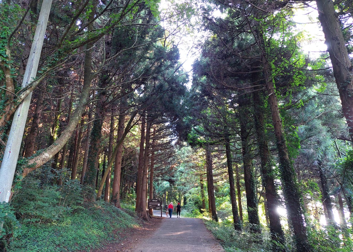
Last summer during my trip, I went to one of the more well-known oreum’s for a quick hike (so I thought), something I’ve never done. Within the first 5 minutes of my trek up, I knew it was a mistake. It was very early in the morning and there really was no one else around, but the slope up wasn’t a mild hike—it was a steep 20-degree plus upslope that made you sweat like a glass of cold water on a hot summer day.
What was more embarrassing was the fact that there were 3 Chinese ladies in their 70s in their slippers(!!) walking up without breaking a sweat. And a few steps back, I’m panting and sweating like crazy. But once I got up to the top, though, the view was…


… but I’m afraid of heights… Curse me.
A wondrous natural beauty the whole island is. However, as is the case with everywhere else, it’s the people who make or break the place. I’ve seen both, the bad and the good.
On my second fishing expedition(!), the boat captain kept smoking his cigarettes non-stop and would flick the butt on to the sea. Increasingly getting pissed off about it, I noticed an empty box of cigarettes floating about and loudly said “what asshole2 litters trash on to the sea like that?” He sheepishly responded, “that’s nothing. Sometimes you see a whole refrigerator floating around.” He (decidedly younger than me) did stop smoking though.
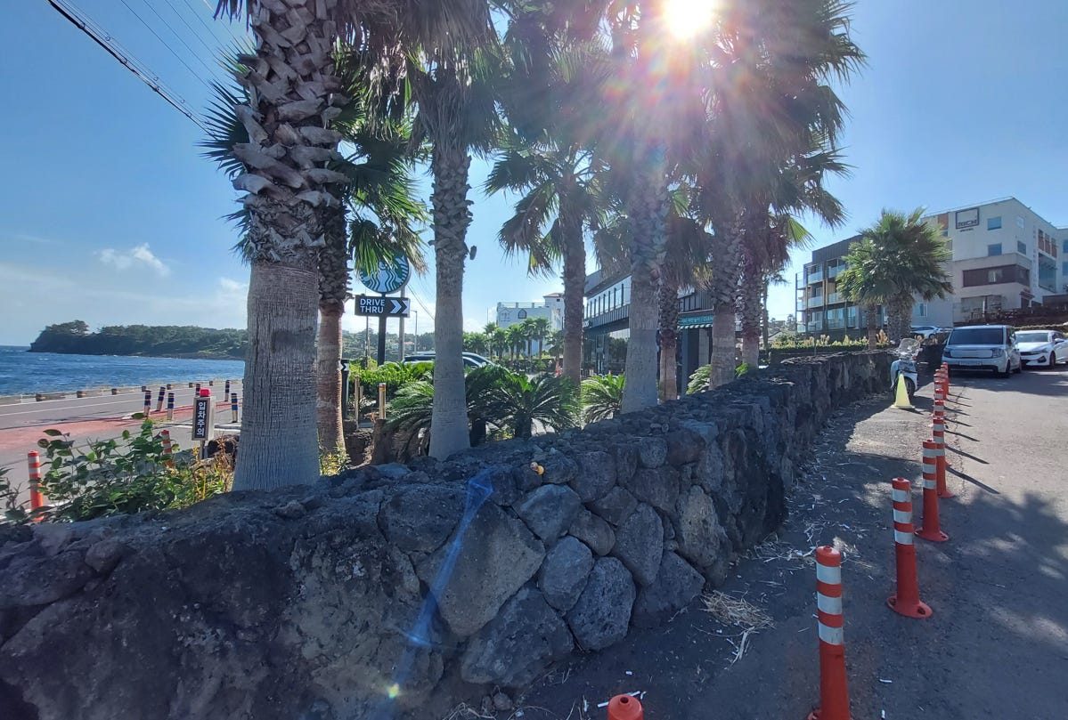
You see the beachfront and the inescapable coffee franchise. The building behind it was the hotel I stayed at. And all along that rock wall, you see…

… cigarette butts, with the trash bin 10 feet away.
But just as you start to lose faith in humanity, you come across something that restores it right back. While I was at Mt. Songak trail, I saw two separate groups of volunteers who…
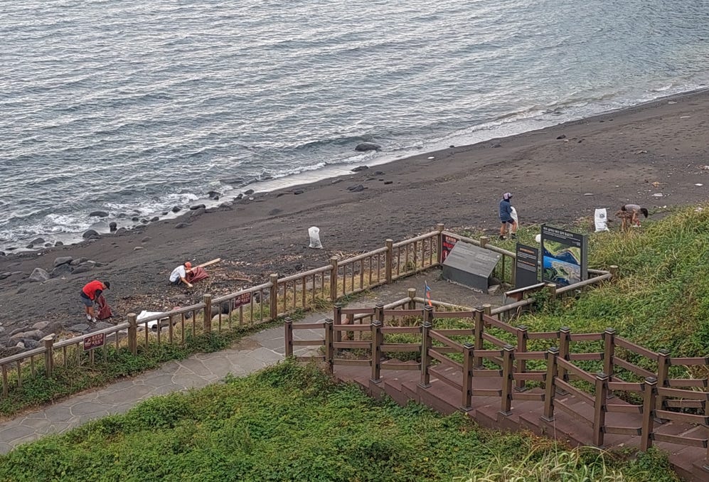
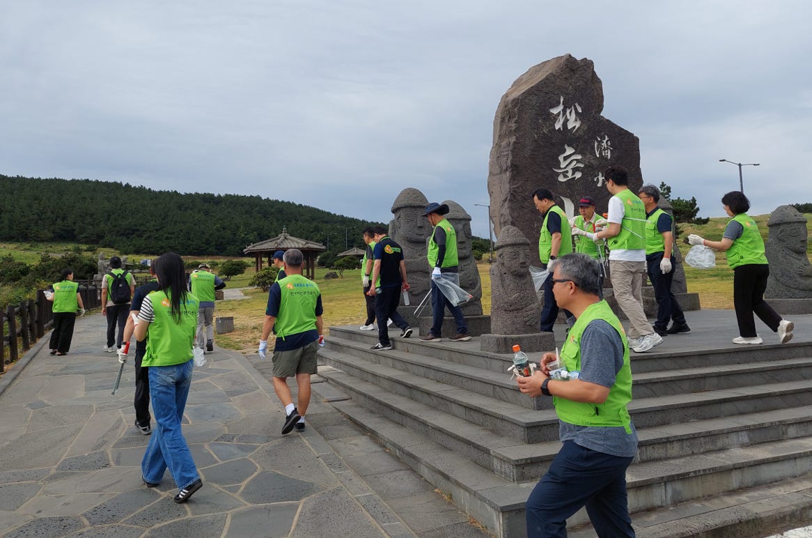
… were picking up trash left behind by thoughtless tourists.
Hats off to you, sirs and madams.
The Korean suffix -do (도) is an island (島) or Province (道), written differently in Chinese characters but same in Korean, but in case of Jeju, it’s both.
I used the word “개새끼.”
I am in Jeju right now walking part of the 올래길.